CHARMING WALKS
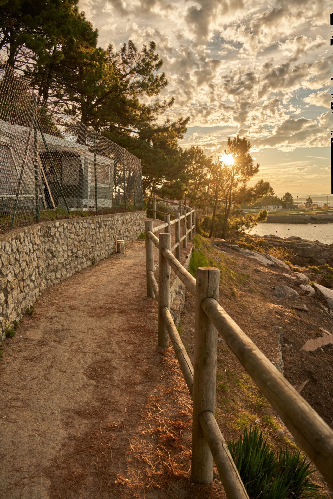
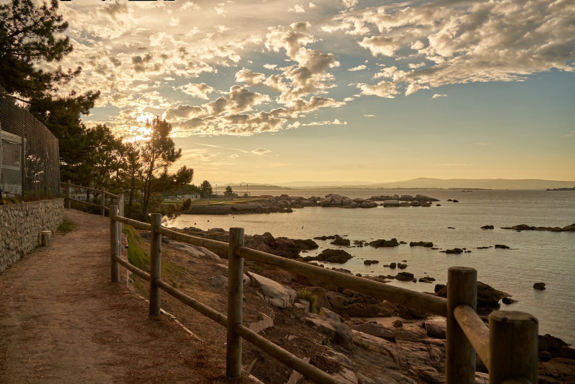
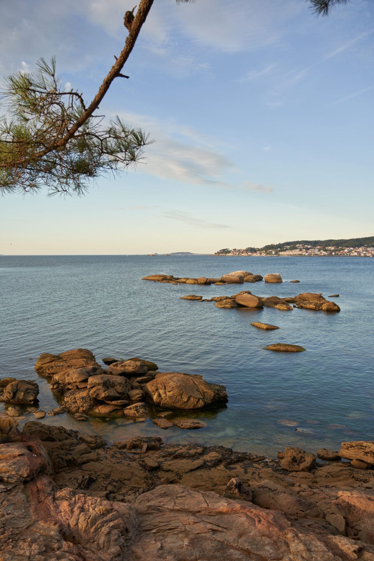
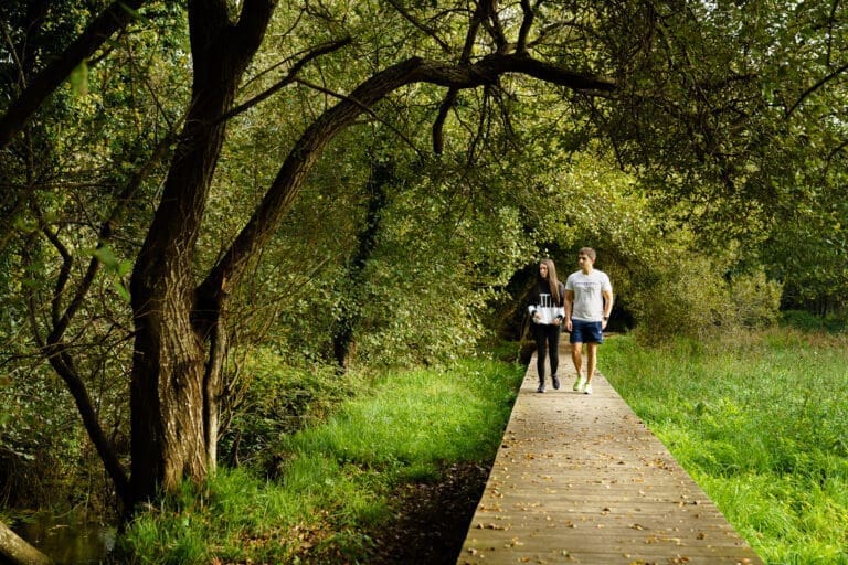
Nature is the name of the game in Ribeira. Landscapes of estuaries and open sea, rivers and lagoons, riverside forests and magical walks that you’ll want to discover… Pack your backpack and let’s get going!
COROSO-AZOR RIVER BLUE TRAIL: Blue Trails are itineraries that link, cross or start from beaches, ports or interpretation centres awarded with the Blue Flag. Blue trails help to highlight areas of natural, cultural and heritage interest near the coast. In Spain there are more than 60 sustainable trails spread throughout our coast, each with its own personality.
This trail runs along the urban beach of Coroso to the sandy beach of Río Azor. It is a very busy area, with recreational and sports areas for children and adults, catering services and a bike lane. The island of Rúa stands out on the horizon, and closer by, the small island of Ratos.
| Difficulty: | Low | |
| Distance: | 2.2 km | |
| Type of tour: | Linear | |
| Coordinates: | Home: | 42.564395674722185, -8.990605831315449 |
| End: | 42.56986010512627, -8.968433557481601 | |
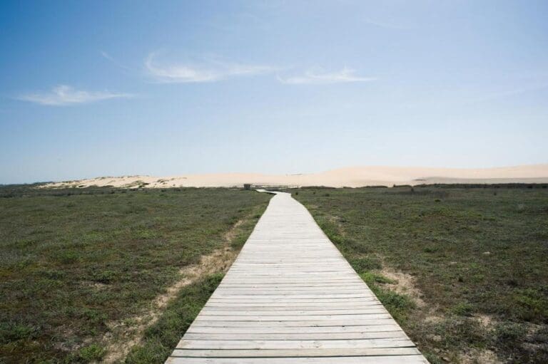
COASTAL WALK FROM THE PORT OF AGUIÑO TO PUNTA COUSO: a path to fully enjoy nature, the sea and history. It starts in the port area of Aguiño, passing through Peirao Fenicio da Covasa, until reaching the Miradoiro de Couso. Dirt roads and wooden walkways guide a route marked by a coastal landscape in which the Sálvora Archipelago and the entrance to the Arousa estuary stand out.
| Difficulty: | Low | |
| Distance: | 1.6 km | |
| Type of tour: | Linear | |
| Coordinates: | Home: | 42.51757086541836, -9.02341301169598 |
| End: | 42.52355894899235, -9.034424180339121 | |
O CARREIRO, O CASTRO AND CATÍA COASTAL WALK: a walk that begins at the rocky breakwater of Carreiro (Aguiño) and runs along wooden walkways to the beaches of Catía and O Castro. The end of the route leads to the sports area of Castro (Castiñeiras), a viewing point with views of the Sálvora archipelago and the last boats installed in the Arousa estuary.
| Difficulty: | Low | |
| Distance: | 2 km | |
| Type of tour: | Linear | |
| Coordinates: | Home: | 42.52341721806235, -9.012180070676328 |
| End: | 42.53056884483019, -8.998616652194212 | |
COASTAL WALK FROM TURO TO A AMEIXIDA: Ribeira and A Ameixida (Castiñeiras) are joined by this route where you can see some of the most charming beaches in the municipality: Fontán, O Toro, A Furna, Area Secada and A Ameixida. The last section is done by wooden walkways over a rocky landscape of great natural value. The dornas, traditional boats from the Rías Baixas, beached and anchored on the beaches, beautify the views of the coast.
| Difficulty: | Low | |
| Distance: | 1.8 km | |
| Type of tour: | Linear | |
| Coordinates: | Home: | 42.55459751479617, -8.988741364599905 |
| End: | 42.53976772623503, -8.986492866586072 | |
COASTAL WALK FROM THE LIGHTHOUSE TO THE PORT OF CORRUBEDO: a path that forms part of the first stage of the Camino de Santiago “El Origen”. Starting from the Corrubedo lighthouse and following the signs for “A Orixe”, you walk along the coast through an enclave with views of the Atlantic Ocean and a landscape made up of small cliffs and wild sea. The walk ends at the port of Corrubedo.
| Difficulty: | Low | |
| Distance: | 2.1 km | |
|
| ||

 Ribeira, Galicia