It extends over 53,664 hectares of the eastern mountain ranges of Lugo, covering the municipalities of Cervantes, Navia de Suarna and Becerreá. It was declared in 2006.
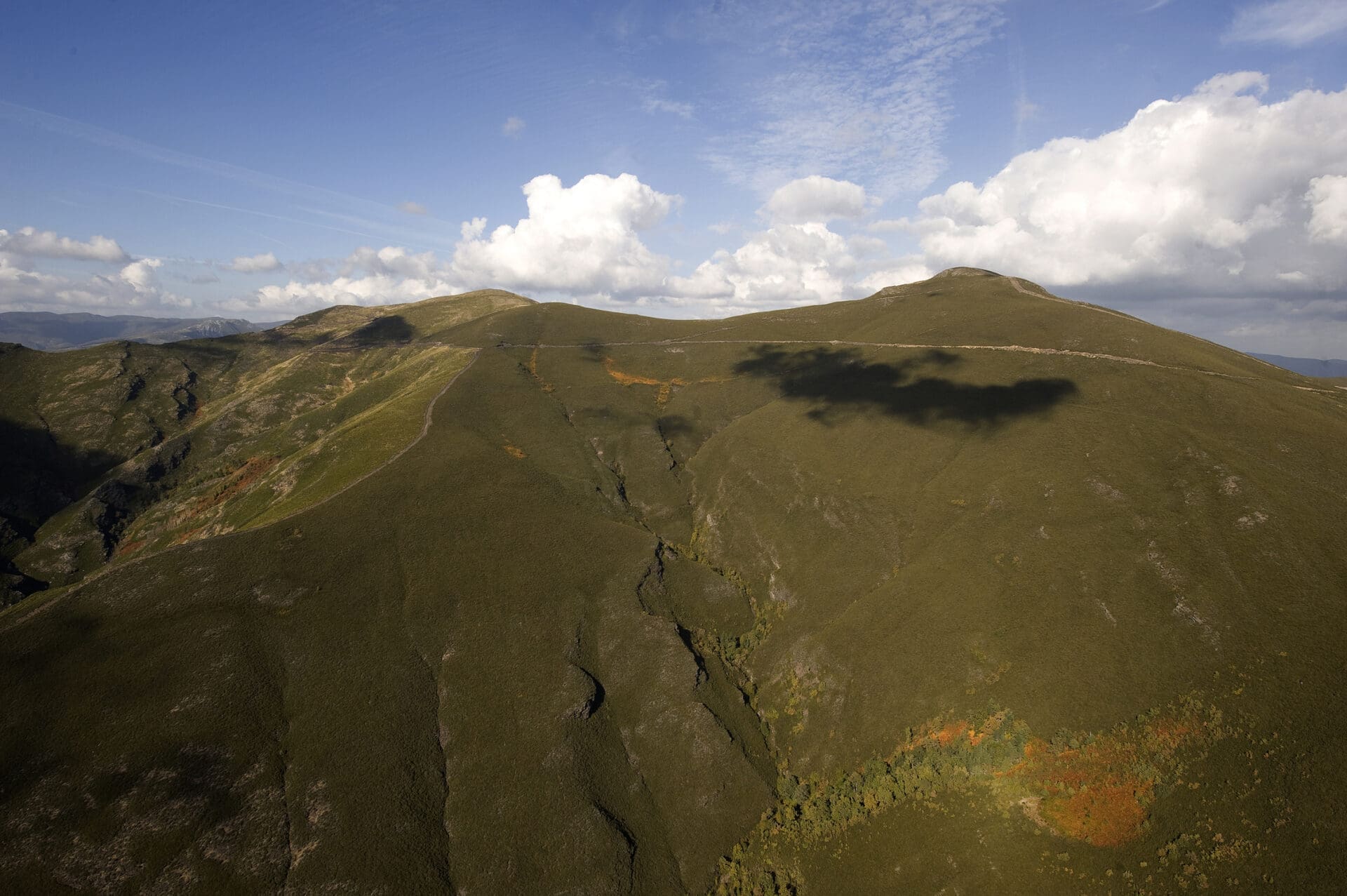
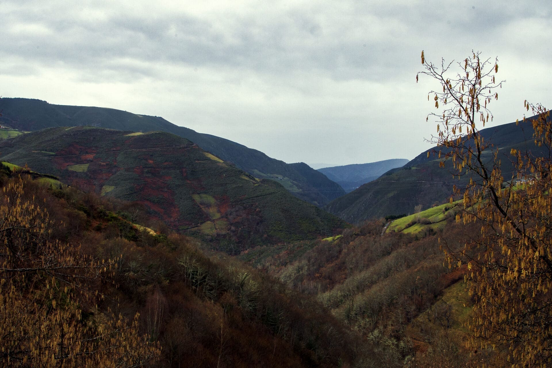
The Reserve forms a territory where the biodiversity of ecosystems is conditioned by its altitudinal contrasts of up to 1,600 metres between its highest elevations and its narrow river valleys such as Navia, Ser or Rao.
It has been the abrupt orography of the environment that has traditionally made access to these lands difficult and which, together with its low population density, has favoured the conservation of its landscapes and the existence of places where time seems to pass at its own pace.
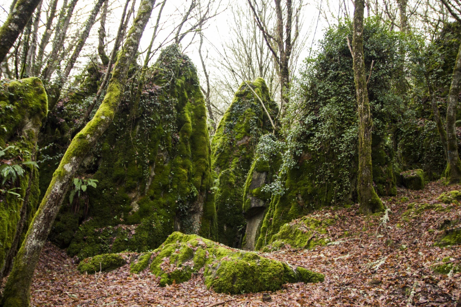
Regarding the most characteristic habitats of the Reserve, the forest masses of species such as chestnuts, oaks, birches, hazelnuts, rowans, holly and yews stand out. Particularly unique are the beech forests such as that of A Pintinidoira, the holm oak forest of Cruzul and the chestnut grove of Agüeira. The Reserve also has areas of dry heaths and gorse bushes that represent the scrubland areas.
The preservation of natural spaces has allowed the Reserve to be a territory with conditions that favour the presence of game species, wolf populations and species in serious danger of extinction such as the brown bear, which has been seen in transit in some places in the Reserve. In the past, Os Ancares was also a refuge for the capercaillie, a bird that is considered extinct in the area due to its high vulnerability.
The Biosphere Reserve includes other areas of the Galician Natura Network, such as the ZEC Ancares-Courel or the Cruzul-Agüeira natural area. In addition, Os Ancares is a National Hunting Reserve, a Brown Bear Protection Area, a Picturesque Landscape and a Special Protection Area for Birds.
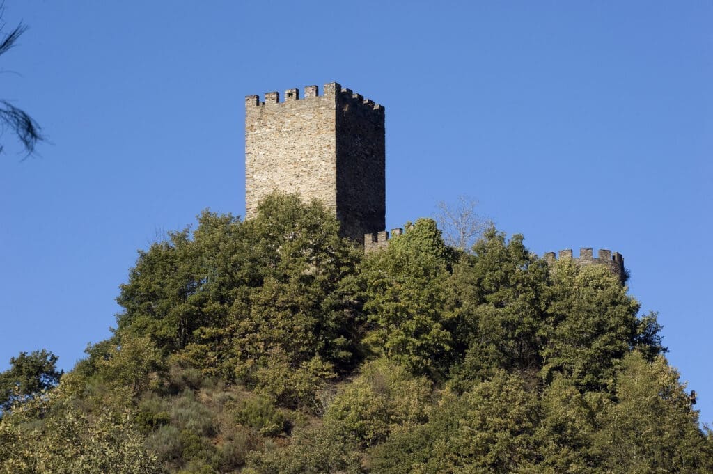
The cultural wealth of the territory shows that Os Ancares has been a witness to the passage of entire civilizations since Prehistory. Later, the legacy of Romanization will take us back to the heritage elements linked to Roman gold mining, such as the castro of Santa María de Cervantes, and to the presence of an important road infrastructure such as the Roman Road XIX of the Antonine Itinerary. From the Middle Ages, there are also impressive vestiges such as the castle of Doiras, the scene of legends that tell us about enchanted princesses.
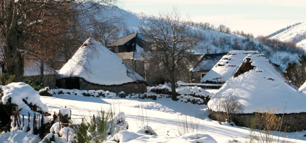
Among human activities, those related to the exploitation of its agricultural, livestock and forestry resources stand out. Thus, and in view of the mark that man has left on the natural space, an extraordinary capacity for adaptation to the rigors of the climate and mountain orography can be deduced. This is confirmed by elements of popular architecture such as the hórreos, the cortines, the sequeiros and, in particular, the pallozas, traditional houses with a circular or elliptical floor plan covered with rye straw and inhabited together by people and livestock until the 1970s. Today, some of them can be visited after being converted into a museum, undoubtedly constituting the icon that best identifies these lands.

 Province of Lugo, Galicia

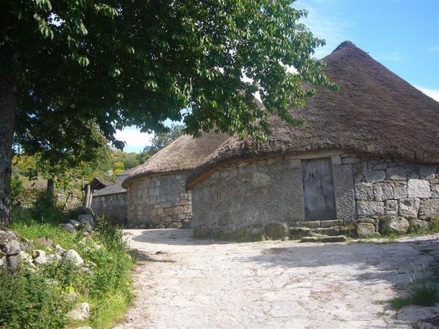


 Reserva da Biosfera dos Ancares Lucenses e Montes de Cervantes, Navia e Becerreá
