Between the end of the 12th century and the beginning of the 13th century, King D. Sancho I, son of D. Afonso Henriques, made a circuit on horseback around the upper part of the town of Guimarães, in order to mark a boundary, and it is likely that the town was walled from this point.
Guimarães was made up of two independent villages at that time and the option was, in the first two centuries of nationality (11th and 12th), to garrison the upper town – the core of the castle – to the detriment of the lower town, organized around the Collegiate church of Oliveira.
In the 13th century, the construction of the definitive layout of the wall began, on the initiative of King D. Afonso III, which was completed in 1318 by King D. Dinis, providing the two towns of Vila de Guimarães with a single defensive structure , concentrated in the Castle, but extended to the community and main religious institutions.
In the following years, the double wall of Guimarães withstood three sieges: in 1322, when Prince D. Afonso fought against his father, D. Dinis; in 1369, when the troops of Castile, commanded by Henry II, invaded the Entre-Douro-e-Minho region; and in 1385, when D. João I laid siege to resistant Guimarães.
It was this monarch who ordered the demolition of the inner wall that separated the two towns, ordering them to become a single village. Eight gates, six towers and two turrets defined a relatively extensive military circuit.
In the 19th century, as with the Castle and the Paço dos Duques de Bragança, the stones of the wall were also used as quarries for the construction of various public and private buildings. This fact led to the destruction of practically all the towers and gates until the mid-twentieth century, when new destructions were carried out to make way for new roads.
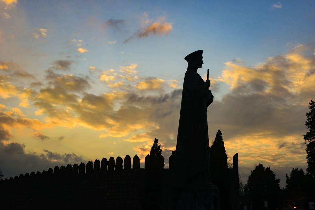
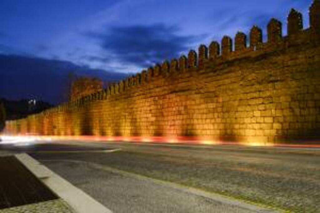
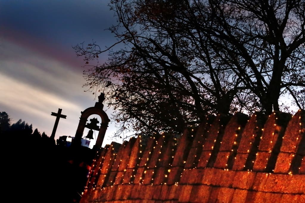
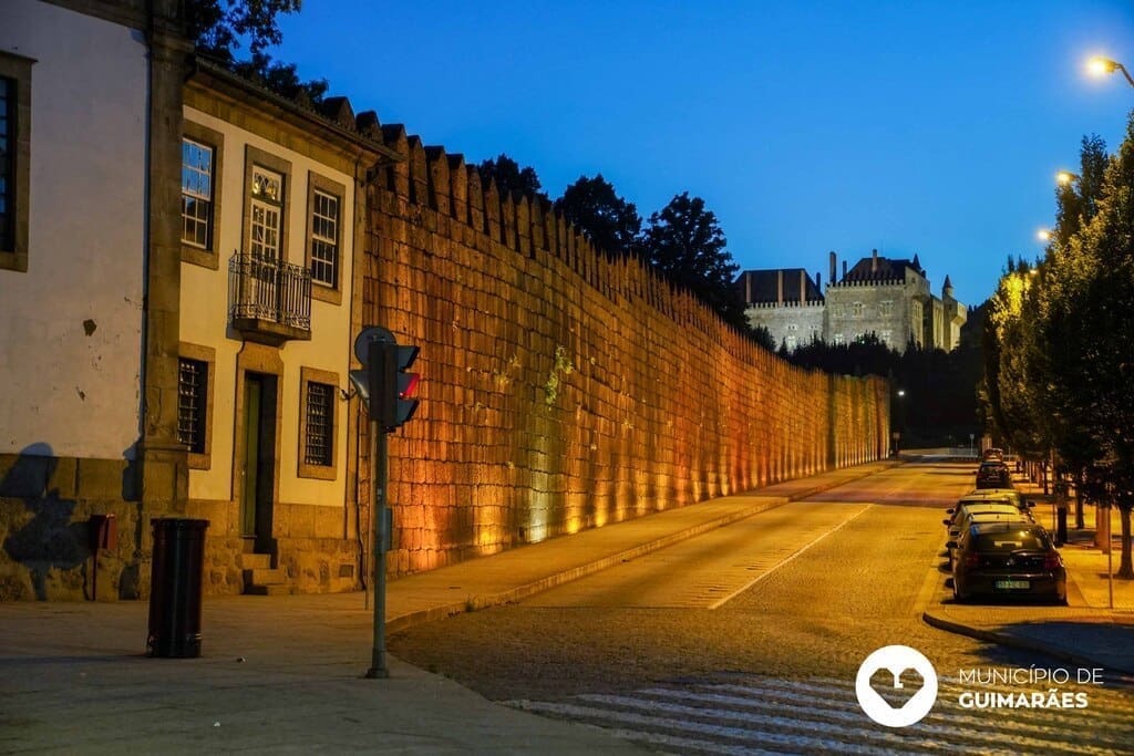
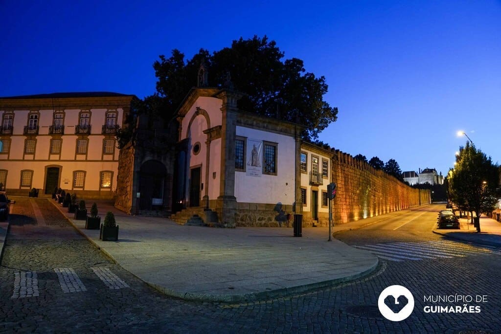
Some very important wall panels are still preserved today. The longest extends from Largo da Condessa Mumadona and runs along Avenida Alberto Sampaio. The second visible wall is located a little further south and is associated with the old Torre da Alfândega, which is currently under construction to allow access to visitors.
It is impossible to remain indifferent to the monumentality of the structure, well preserved and which has remained practically intact since its construction in the 13th century.
Adarve da Muralha Pedestrian Route
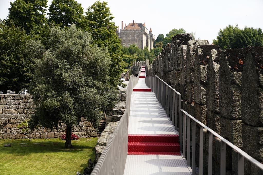
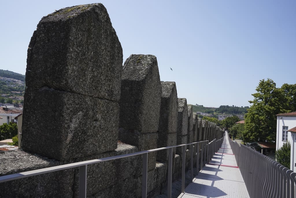
The Guimarães City Council, based on projects suggested by the population of the municipality, built the Adarve da Muralha Pedestrian Route, against the inside of the longest wall.
The Adarve da Muralha, testimony to many vigils and uncertainties in the face of enemy attacks, appeals to our imagination.
Inaugurated in 2019, the route offers visitors another point of tourist attraction in the Historic Center, providing a new perspective from which to observe various points of interest in the city and surrounding areas.
The route runs along the entire wall of Avenida Alberto Sampaio, with one of the possible entrances next to the entrance to the Alberto Sampaio Museum and the exit next to Largo da Condessa Mumadona or, if you wish, you can follow the route in the opposite direction.
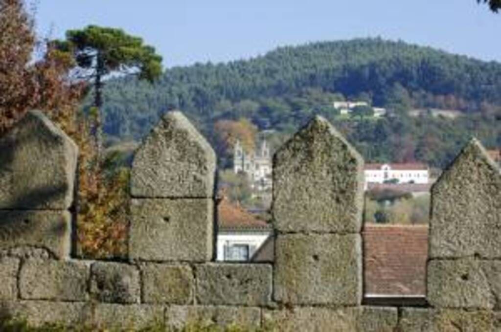
Starting the route next to the entrance to the Alberto Sampaio Museum, after climbing the stairs and looking straight ahead, the Sacred Hill with the Paço dos Duques de Bragança draws attention, behind which we find the Church of São Miguel and the castle. Along the route and between the battlements, the visitor can see, on the right side, the gardens of the Alberto Sampaio Museum and the Church of Nossa Senhora da Oliveira and on the right side, on top of the Penha mountain, the Sanctuary of Our Lady of Oliveira. Continuing along the route, on the left side we have the building of the Pastoral Center D. António Bento Martins Júnior with the Patronato de Nossa Senhora da Oliveira, which functions as a nursery, and yes. When the weather is fine we can see children playing in the outdoor spaces, greeting visitors. Just opposite, on the same side, is the old Convent of Santa Clara, today the Town Hall.

 Guimarães, Northern Portugal


 Guimarães Turismo