Santiago Natural
The relationship of Santiago’s urban center with the natural environment is exceptional. From almost any point in the city there are views of the green masses of trees in the urban parks, or the meadows and forests of the surrounding mountains.
The city sits between three main mountains – Pedroso, Viso and Gaiás – and is made up of small hills. All these elevations act as natural viewpoints over the city center and the omnipresent Cathedral.
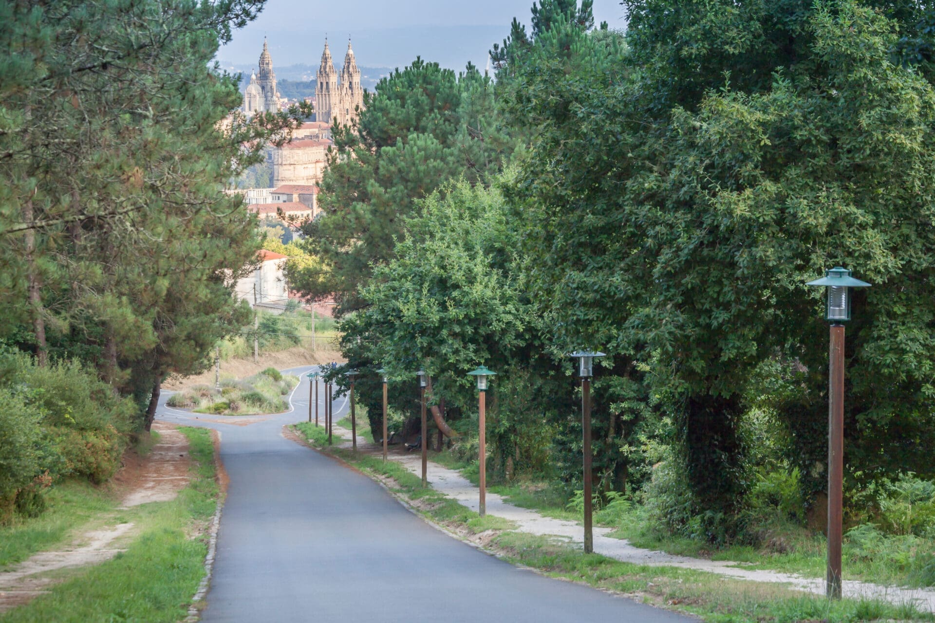
Two small rivers, Sar and Sarela, surround the city. The paths that run along their banks, once covered with river mills and traditional tanneries, along with those that run through the forest park of Mount Pedroso, and the Gaiás and Viso mountains, form a network of pleasant nature walks that can be easily reached on foot from the center.
As for parks and green spaces, the surface area dedicated to this use speaks for itself: more than 5 million square meters -which represents an average of 50 m2 per inhabitant, higher than the European average-, making Santiago a city of great environmental and landscape quality with multiple environmental awards.
But Santiago is much more than its urban core: the total municipal area is 223 km2, which includes 21 rural parishes. In addition, the municipality of Santiago is part of a natural region, watered by two of the main Galician rivers, the Tambre and the Ulla – famous for its trout, scallops and salmon -, very suitable for the practice of multiple river sports, and with great river beaches and recreational areas and trails less than 15 minutes drive from the city.
RECOMMENDED PATHS
So that you can get an idea of the natural attraction of Santiago, here we propose a catalog of 9 nature trails accessible on foot from the city center, of short and medium duration and little or no difficulty, designed to be done in a couple of hours or half a day at most and oriented to families with children, pets, people with reduced mobility, cyclists or more experienced hikers.

 Santiago de Compostela, Galicia


 Sendas